 Vista previa ilustrativa
A build-to-order Odoo module that plots your contacts,
customers, leads, and sales orders on interactive geographic maps directly inside Odoo.
ECOSIRE scopes, builds, installs, and supports it for your database.
¿Qué es GeoMaps for Odoo?
A build-to-order Odoo module that plots your contacts, customers, leads, and sales orders on interactive geographic maps directly inside Odoo. ECOSIRE scopes, builds, installs, and supports it for your database. Built to order by ECOSIRE for Odoo 17, 18, 19 — indicative price from $999.00 USD; request a quote for a scoped proposal.
Características clave
Hecho a medida, listo para ti
Sin configuración por tu cuenta: una app funcional creada, instalada y con soporte de ECOSIRE.
- 1
Haces el pedido
Empieza con un precio único de desarrollo. Definimos el alcance contigo en el arranque.
- 2
Creamos e instalamos
ECOSIRE la crea, la configura y la instala en tu Odoo.
- 3
En marcha + soporte
Sales en vivo en aproximadamente una semana laboral, con dos semanas de soporte tras la puesta en marcha. Los defectos en el código que entregamos se corrigen sin coste.
Especificaciones técnicas
- Compatibilidad con Odoo
- Odoo 17, Odoo 18, Odoo 19
- Ediciones
- Enterprise y Community
- Licencia
- La licencia requiere confirmación
- Requisito de Python
- Python 3.10+
- Base de datos
- PostgreSQL 12+
Sobre este producto
Your Odoo database already knows where every partner, lead, and order lives — the address fields sit right there on res.partner — but that geography is trapped in list and form views. A sales manager who wants to see which prospects cluster in a region, a field team planning the most efficient visit route, or an operations lead spotting order density by city all end up exporting to a spreadsheet and pasting coordinates into an external mapping tool. Odoo core ships no general-purpose map view in Community, and even where map-adjacent widgets exist they are narrow, hard-coded to a single model, and cannot mix contacts, crm.lead, and sale.order on one canvas. This is where teams that run Odoo hit the wall.
GeoMaps is a productized module ECOSIRE builds to order that adds a true geographic map view to the records you choose. Technically, we add a reusable OWL map component registered as a new view type and wired into the action definitions of the models you nominate — res.partner, crm.lead, sale.order, or your own custom models. We reuse Odoo's existing partner_latitude / partner_longitude geolocation fields where present and add stored coordinate fields where they are missing, populated by a configurable geocoding provider with results cached so the same address is never re-geocoded on every render. Markers are colored and clustered by fields you care about — pipeline stage, salesperson, order state, tag — via standard @api.depends compute methods, and clicking a marker opens the underlying record or a QWeb-rendered popup card.
Under the hood the module is a clean, upgrade-safe addon: a proper __manifest__.py declaring dependencies (base, plus crm / sale only when those models are in scope), models extending the standard ones via inheritance rather than overwrites, ir.model.access.csv plus record rules so map data respects your existing multi-company and salesperson visibility, and server-side batching so plotting thousands of records does not block the web worker. Geocoding can run on demand from the map, in bulk via a server action, or on a scheduled ir.cron job; the same data is reachable over Odoo's XML-RPC / JSON-RPC API for any external system that needs coordinates. It targets Odoo 17.0, 18.0, and 19.0, Community or Enterprise, and adapts to whichever tiles/geocoding provider your policy allows.
Because this is build-to-order, nothing ships until we agree on scope. After a short scoping call we confirm which models and fields you want mapped, your geocoding and tile provider, and your version and edition, then hand you a fixed quotation. Typical delivery is one working week from confirmed scope: we build on a branch, deliver to a staging database for UAT, then install on production with a rollback plan and hand over the git repository. Pricing starts from $999 (indicative, single-company base scope); mapping additional models, custom clustering/routing logic, premium geocoding integrations, and large historical geocoding-migration volumes increase the quoted scope.
lo que obtienes
- Installable, version-pinned source code for your Odoo version (17.0, 18.0, or 19.0), Community or Enterprise
- Installation and configuration on your environment, including geocoding/tile provider setup and initial bulk geocoding of existing records
- Technical documentation: manifest, models, view registration, security rules, and the geocoding/cron architecture
- End-user guide plus a live training session for your sales, CRM, and operations teams
- UAT on a staging database before production, with a documented rollback plan
- A post-go-live support window for defect fixes and configuration adjustments
- Handover of the full git repository so your team owns the code going forward
¿Para quién es esto?
Sales & CRM Manager
Runs pipeline in Odoo CRM and wants to see leads and customers geographically — which regions are dense, which territories are thin, and how prospects cluster — without exporting to a separate mapping tool. Needs markers colored by stage and salesperson.
Field & Service Operations Lead
Schedules on-site visits, deliveries, or installations and needs to see customers and orders on a map to plan efficient routes and assign the nearest technician. Wants radius filtering around each branch or depot.
Odoo Administrator / IT Manager
Owns the Odoo instance and cares about an upgrade-safe addon that respects existing security, multi-company rules, and version. Wants clean models, `ir.cron` geocoding, API access to coordinates, and the git repo handed over.
Regional / Country Sales Director
Needs a bird's-eye view of order density and customer distribution across markets to steer territory planning and resourcing, using saved map presets grouped by region and order state.
Cómo se compara GeoMaps for Odoo
| Criterio | ECOSIRE | Construcción personalizada | Competidor | Nativo de Odoo |
|---|---|---|---|---|
| Availability | Build-to-order; installed and supported by ECOSIRE | You build it yourself from scratch | Instant download, but generic and as-is | No general map view in Community |
| Models mapped | Contacts, leads, orders, and your custom models on one canvas | Whatever you have time to build | Usually hard-coded to a single model | None — addresses only in list/form |
| Security & multi-company | Inherits your record rules and `ir.model.access.csv` | Depends on your team's rigor | Often generic, may ignore record rules | N/A — no map to secure |
| Geocoding architecture | Cached, configurable provider, on-demand + bulk + `ir.cron` | You design and maintain it | Fixed provider, limited caching control | Not applicable |
| Version coverage | Built and tested for your 17.0 / 18.0 / 19.0 edition | You own all version testing | May lag current versions or need paid upgrades | Ships with core, no map feature |
| Customization fit | Scoped to your exact fields, grouping, and workflow | Fully custom but slow and costly to build | Configuration only, within the vendor's limits | None |
| Support & ownership | Support window + full git repo handover | Entirely on your team | Vendor ticket queue, no source ownership | Community forums only |
| Time to value | one working week from confirmed scope | Months of internal effort | Minutes to install, then fight the limits | Immediate, but no capability |
Preguntas frecuentes sobre GeoMaps
Is this an existing app I can download and install right now?
No. GeoMaps is build-to-order. ECOSIRE develops it against your specific Odoo version, edition, and the models and fields you want mapped, then installs and supports it. There is no instant download — we start after a scoping call and a confirmed quotation.
How long does delivery take?
Typical delivery is one working week from confirmed scope. The timeline depends on how many models you map, whether custom clustering or routing logic is needed, your geocoding provider, and the volume of existing addresses to geocode. We give you a firm date with the fixed quote.
How does pricing and scoping work?
Pricing starts from $999 as an indicative single-company base-scope figure. After a short scoping call we confirm the exact models, geocoding/tile provider, version, and edition, then send a fixed quotation. Additional models, custom logic, premium integrations, and large geocoding-migration volumes increase the quote — you approve it before any build begins.
Which Odoo versions and editions do you support?
We support Odoo 17.0, 18.0, and 19.0, on both Community and Enterprise. The module is packaged as an upgrade-safe addon using model inheritance and standard view registration rather than core overwrites, so it survives point-release upgrades within your major version.
What about support and updates after go-live?
Every build includes a post-go-live support window for defect fixes and configuration adjustments. Because we hand over the full git repository, your team can maintain it independently afterward, or you can arrange an ongoing support and version-migration retainer with ECOSIRE.
Which geocoding and map-tile providers can we use?
The provider is configurable in Settings so the module honors your data-residency and licensing policy. We wire up whichever geocoding and tile source your organization approves during scoping; results are cached to minimize provider calls, and geocoding can run on demand, in bulk, or on a scheduled `ir.cron` job.
Will map data respect our existing security and multi-company rules?
Yes. Coordinate access is governed by `ir.model.access.csv` entries and record rules that inherit your existing salesperson and multi-company visibility, so a user only sees markers for records they are already allowed to open. Coordinates are also exposed over XML-RPC / JSON-RPC for approved external systems.
Módulos relacionados
GCC Withholding Tax (WHT) Engine
Build-to-order Odoo module that auto-computes, deducts and reports withholding tax on vendor bills and payments across GCC and emerging markets.
Generate DATEV Debitor Number Automatically
A build-to-order Odoo module that automatically assigns DATEV-compliant customer (debitor) account numbers the moment a partner becomes a customer, so your accounting export matches your German chart of accounts every time. ECOSIRE scopes, builds, installs, and supports it for you.
Gift Cards & E-Vouchers at Checkout for Odoo
A build-to-order Odoo module that lets you sell digital and physical gift cards, generate secure codes, track balances, and apply partial redemptions directly in the Odoo eCommerce and POS checkout. ECOSIRE scopes, builds, installs, and supports it for your Odoo 17, 18, or 19 instance.
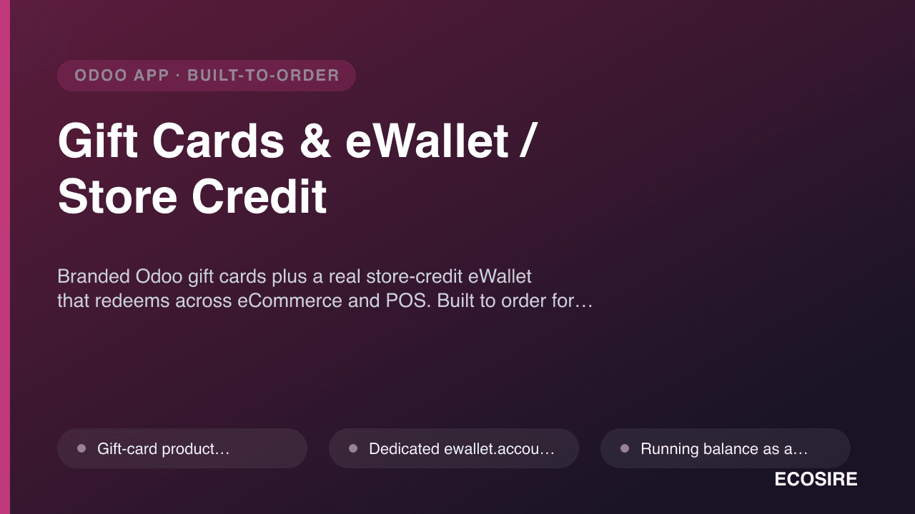
Gift Cards & eWallet / Store Credit
Branded Odoo gift cards plus a real store-credit eWallet that redeems across eCommerce and POS. Built to order for Odoo 17, 18 & 19.
GeoMaps
A build-to-order Odoo module that plots your contacts, customers, leads, and sales orders on interactive geographic maps directly inside Odoo. ECOSIRE scopes, builds, installs, and supports it for your database.
- New OWL map `view type` registered in the web client and attachable to any model's action, so records open in a map alongside their list/kanban/form views
- Unified plotting of `res.partner`, `crm.lead`, and `sale.order` (and custom models) on a single map canvas, filtered by the standard Odoo search view and domains
- Stored `partner_latitude` / `partner_longitude` fields (reusing core geolocation where present) with a cached geocoding layer to avoid redundant provider calls
- Configurable geocoding provider and map-tile source set in Settings, so the module honors your data-residency and licensing policy